Onion Valley Campground
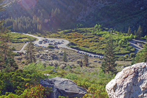
Onion Valley Campground is at the end of Onion Valley Road in the Inyo National Forest, 14 miles west of Independence. Many who choose Onion Valley Campground enjoy photography, fishing at many nearby lakes, and simply soaking in the magnificent scenery. Hikers set out for Kearsarge Pass and beyond into Kings Canyon National Park.
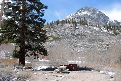
Onion Valley Campground has 30 campsites. Most of the sites have good privacy and shade from trees. Nearly every site has wonderful views of the surrounding mountains. Two campsites are designated for tents-only and another 7 are walk-in tent campsites. The remainder can accommodate small RVs, tent trailers, and tents. Large vehicles are not recommended. Most sites can be reserved ahead of time.
Kearsarge Pass Trail
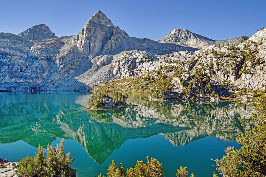
With the main trailhead only yards from Onion Valley Campground, it is popular with those planning to hike into the John Muir Wilderness and Kings Canyon National Park. After hiking a little more than a mile, visitors begin to pass a series of scenic lakes such as Gilbert Lake (shown above).
The trail continues over 11,800-foot Kearsarge Pass into Kings Canyon National Park, connecting with the John Muir Trail and the Pacific Crest Trail. Thru hikers on those trails often make the 7.6-mile hike out from the trail over Kearsarge Pass to pick up supplies in nearby Independence. (Use the PCT button to find information about the Pacific Crest Trail and the John Muir Trail at Onion Valley Campground.) Thru-hikers should check with the Inyo National Forest for the most recent information about resupplying via Kearsarge Pass.
Pacific Crest Trail and John Muir Trail Information
The two trails are essentially one and the same through Kings Canyon National Park. The Onion Valley/Kearsarge Pass trail meets the PCT/JMT just north of the Charlotte Lake trail junction.
Trail Miles Northbound from PCT/JMT Trail Junction
- Glen Pass - 2 miles
- Rae Lakes campsite - 4.4 miles
- Dollar Lake - 6.7 miles
- Woods Creek suspension bridge - 10.7 miles
- Canada Border - 1,860.9 miles
Trail Miles Southbound from PCT/JMT Trail Junction
- Cedar Grove Trail Junction. - 1.8 miles
- Upper Vidette Meadow - 3 miles
- Forester Pass - 9.6 miles
- Mexico Border - 789.1 miles
Nearest Town
Independence - 13 miles east of Onion Valley Campground on Highway 395
Post Office, restaurants, mini-mart, lodging, public transportation (Eastern Sierra Transit)
Always confirm mileages and directions with a reliable PCT source such as the Pacific Crest Trail Association's The Pacific Crest Trail: Exploring America's Wilderness Trail.


Reviews from Previous Campers
- 2023 - 2024 -